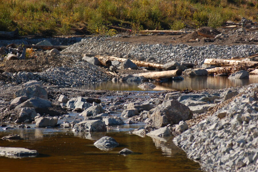
Tag: hazeltine creek
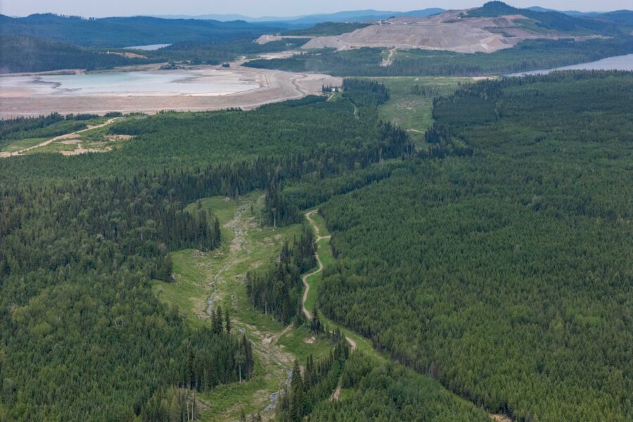
Capturing Progress from Above: A New Look at Remediation at Mount Polley
June 24, 2025
During the week of June 16, 2025, new aerial drone footage was captured over key areas of the Mount Polley mine site, offering a wide-angle view of the remediation work. Capturing this drone footage is part of our ongoing efforts to document… Read more »

Community Update December 2024
December 16, 2024
Mount Polley has had a productive six months, including progressing on mining operations, supporting local community events, building relationships with First Nations, and advancing environmental stewardship. Read our latest issu… Read more »
New Report Quantifies Success of Mount Polley’s Environmental Remediation
October 30, 2024
A newly released report, authored by a team of independent environmental consultants from WSP Canada, and Mount Polley Mine’s own Environmental Coordinator, confirms that the remediation efforts at Mount Polley Mine have succe… Read more »
Mount Polley Mine: A Decade of Environmental Restoration and Progress
August 27, 2024
Written by C.D. (‘Lyn) Anglin, Anglin & Associates, North Vancouver BC, and member of the Board of Directors, Imperial Metals.
Ten years ago, the Mount Polley Mine experienced a significant environmental event when its tailings dam… Read more »

Community Update July 2024
July 18, 2024
Check out our Mount Polley Community Update!
We’re excited to share the newest developments at Mount Polley Mine, includes recent activities, ongoing projects, and community events. Stay informed and engaged with our progress and init… Read more »
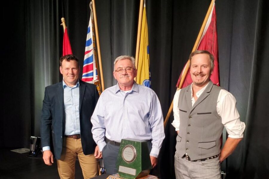
Mount Polley Honoured with Jake McDonald Annual Reclamation Award
October 16, 2023
🌿 Celebrating Excellence in Reclamation: Mount Polley Mining Corporation and Habitat Remediation Working Group Honoured with Jake McDonald Annual Reclamation Award 🌿
Imperial Metals is pleased to share that on September 20, 2023, Mou… Read more »
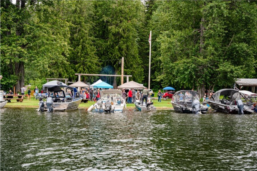
Community Update Q3 2022
February 13, 2023
Salmon Watch
For the second year in a row, significant numbers of adult Sockeye Salmon have been observed using the reconstructed habitat in the lower reaches of Hazeltine and Edney Creeks. Peak observations were made in mid September wit… Read more »
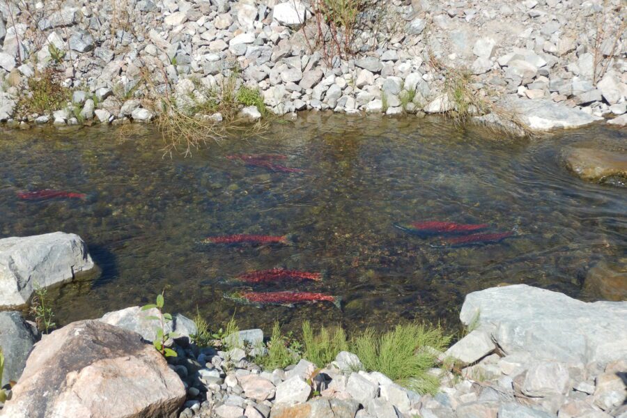
September Sockeye Salmon Run
December 16, 2022
This season we witnessed a great Salmon Run in Hazeltine Creek. Mount Polley’s environmental team along with the support of our environmental consultants at Minnow Environmental have continued to monitor use of the constructed creek ha… Read more »
Community Update Q2 2022
December 2, 2022
A letter from the Mount Polley team
Everyone at Mount Polley Mine has been busy commissioning the mill and preparing the mine for full scale operations. We are at full production mining in the pit, stockpiling materials for future mi… Read more »
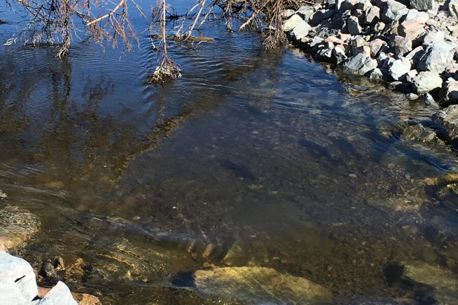
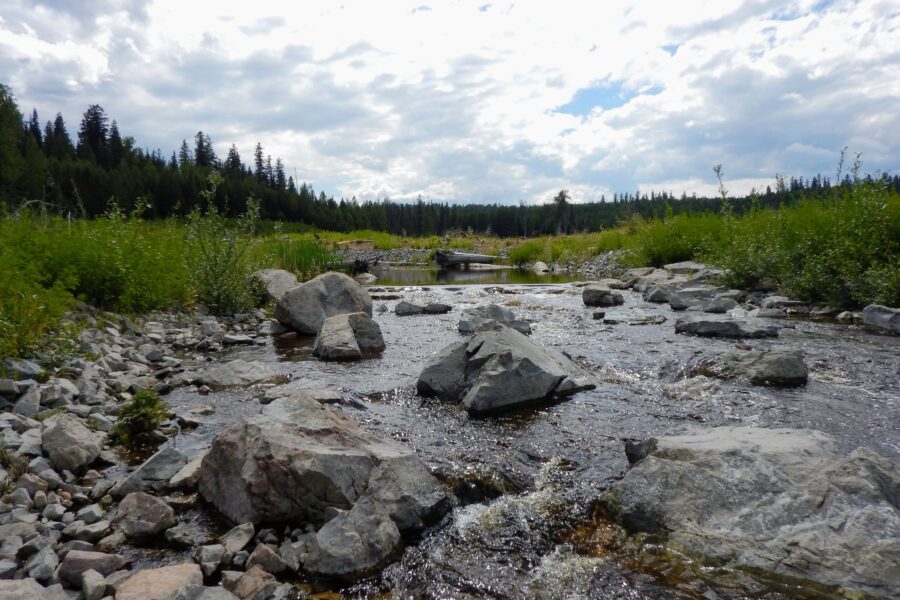
Trout Spawning Activity in Hazeltine Creek at its Highest since 2019
August 3, 2022
Mount Polley is pleased to report there has been an increase in the number of adult rainbow trout and in spawning activity in Hazeltine Creek.
Mount Polley completed a series of annual surveys to count individual adult rainbow trout using t… Read more »
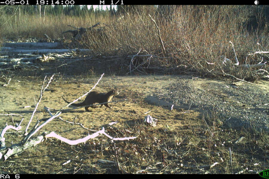
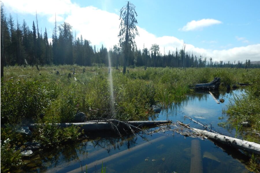
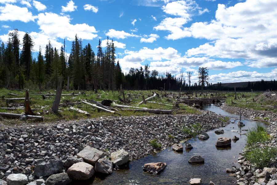
Hazeltine Creek Remediation Wildlife Monitoring Plan Update
October 13, 2021
A Wildlife Monitoring Plan has been implemented in the Hazeltine Creek corridor, utilizing wildlife cameras to build an inventory of animals that are using the corridor to support local wildlife studies.
Environmental monitoring prog… Read more »
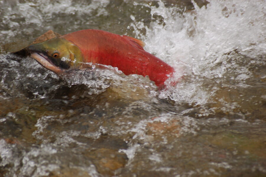
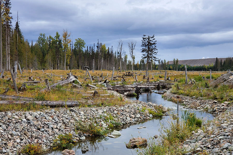
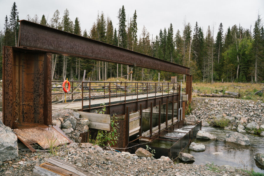
Over 100 sockeye salmon adults return to spawn in Hazeltine Creek
October 5, 2021
After seven years of remediation work in Hazeltine Creek in response to the 2014 tailings dam breach, the salmon have returned to the creek to spawn. In stream work was completed in late August this year, just in time for the sockeye migratio… Read more »
![Abundant Rainbow Trout observed upstream of fish fences, looking to transit into Hazeltine Creek from Polley Lake to spawn. [May 2017]](https://www.mountpolley.com/wp-content/uploads/2020/08/rainbow-trout-polley-lake-900x600.jpg)
Fish populations thriving at Mount Polley
August 11, 2021
Habitat modelling reveals four times more juvenile fish are expected in Hazeltine Creek post-remediation efforts
Mount Polley Mining Corporation is pleased to report that fish populations are thriving at Mount Polley. Further… Read more »
A letter from the Mount Polley Team
March 3, 2021
Happy Holidays – we hope that everyone enjoyed a joyous holiday season and wish you all the best for 2021.
A Covid-19 update – Mount Polley employees continue to take additional precautions to minimize the risks of COVID19 tra… Read more »
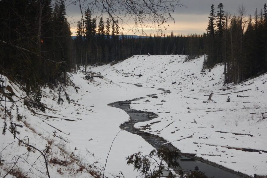
Mount Polley Environmental Monitoring
October 22, 2020
Environmental monitoring programs and closure research projects at Mount
Polley mine site continue as planned. Remediation
construction at the lower Hazeltine Creek and Edney Creek began this summer.
Mount Polley staff, with assista… Read more »
September site tour with the Habitat Remediation Working Group
October 14, 2020
The remediation of Hazeltine Creek has been planned and advanced through the direct collaboration of Mount Polley mine employees, government agencies, First Nations and their technical advisors. This collective is called the Habitat… Read more »
![Collecting spawning Rainbow Trout from Hazeltine Creek. This was a challenge as the new fish habitat was vast and the fish had lots of places to hide! [May 2018]](https://www.mountpolley.com/wp-content/uploads/2020/08/collecting-spawning-rainbow-trout-900x600.jpg)
Mount Polley built and managed an on-site fish hatchery in 2018
August 21, 2020
After the spill, a population monitoring program on Polley Lake indicated there had probably been a reduction in the age class of the population of Rainbow Trout (as upper Hazeltine Creek was the main spawning area for these trout). There w… Read more »
Rainbow trout return to Hazeltine Creek
August 21, 2020
In 2018 a milestone was celebrated by the Mount Polley Environmental Team (MPET) when the efforts of the remediation work rebuilding Hazeltine Creek witnessed the return of Rainbow Trout, Redside Shiners and Long Nose Suckers to the rebu… Read more »
Likely Area Mining History
June 8, 2020
The area around Likely has a long and fascinating
history of placer mining. Placer mining refers to mining materials (mostly
gold) deposited in ancient stream beds that are still largely unconsolidated (i.e.
relatively loose materials… Read more »
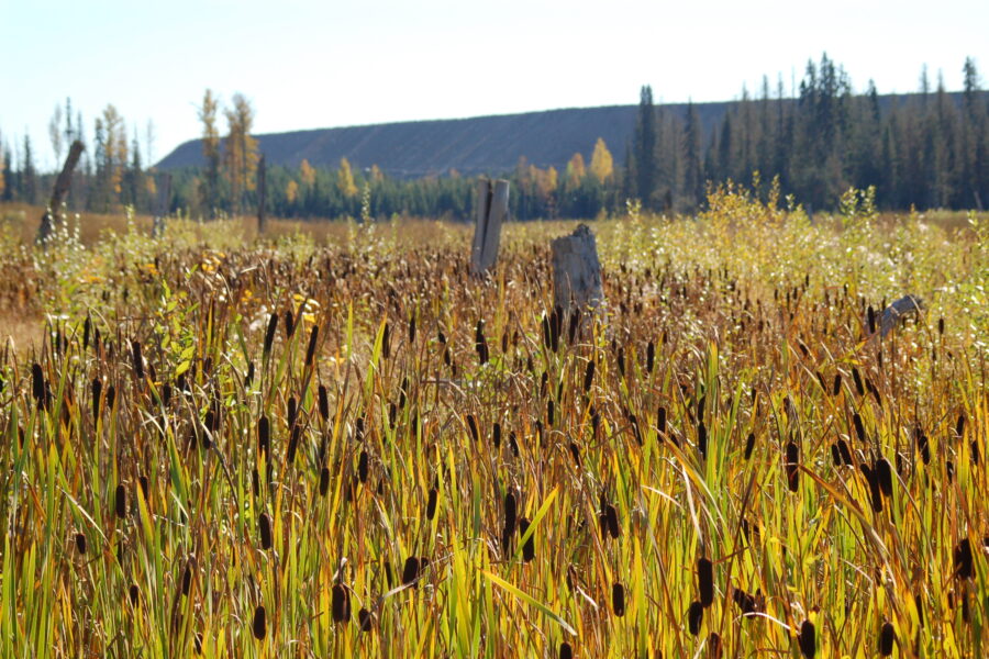
Major milestones of Mount Polley’s environmental remediation efforts to date
April 21, 2020
The remediation effort at Mount Polley is ongoing; however, we are very proud of the major milestones that have been completed to-date.
Repair of lower Edney Creek, re-establishment of link to Quesnel Lake and installation of new fish hab… Read more »
Staying connected to the community during Mount Polley’s remediation
April 7, 2020
Did you know that over the past six
years, over 39 community meetings have been organized and hosted by Mount
Polley management and environmental staff?
Mount Polley is committed to the
environment and to ensuring the community is kept up t… Read more »
Mount Polley Remediation’s 2019 Environmental Update
March 23, 2020
Extensive remediation work in the areas affected by the 2014 breach at Mount Polley has been achieved during the past five years.
Over $70 million dollars has been spent on clean-up work, including environmental impact and risk assessmen… Read more »
The Mount Polley Team: Maintaining a Healthy Environment
February 28, 2020
Mout Polley continues to restore the environment during its current care and maintenance phase.
With 14 staff members working at the Mount Polley site, as well as several contractors, the remediation team at Mount Polley co… Read more »

Mount Polley Remediation Story
January 15, 2020
This is the story of Mount Polley Remedition – from tailings spill to environmental recovery
Katie: “My name is Katie McMahen. I was born and raised here in Williams Lake and I was a member of the environmental team here at Mount… Read more »