Tag: golder and associates
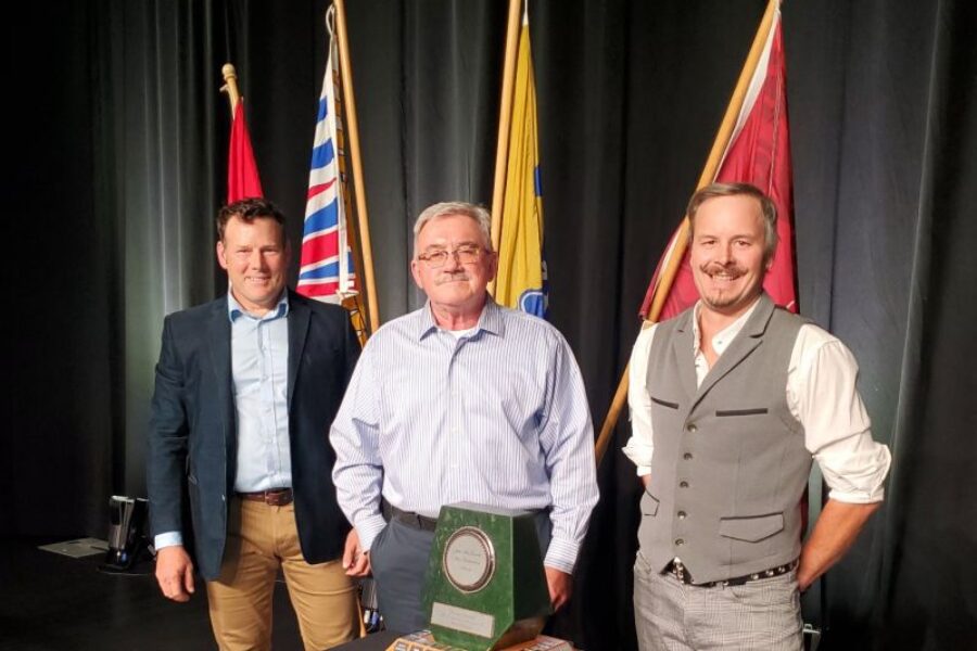
Mount Polley Honoured with Jake McDonald Annual Reclamation Award
October 16, 2023
🌿 Celebrating Excellence in Reclamation: Mount Polley Mining Corporation and Habitat Remediation Working Group Honoured with Jake McDonald Annual Reclamation Award 🌿
Imperial Metals is pleased to share that on September 20, 2023, Mou… Read more »
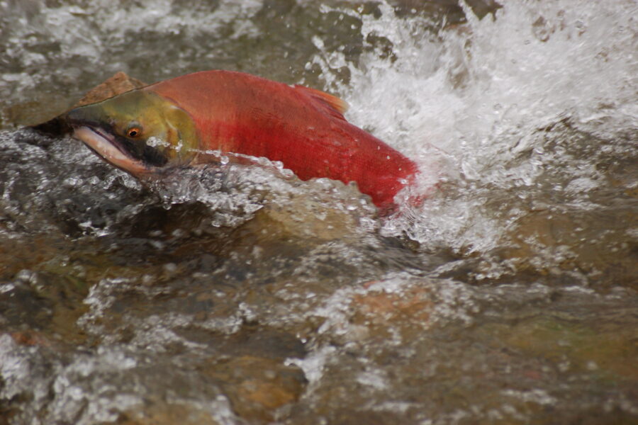
Over 100 sockeye salmon adults return to spawn in Hazeltine Creek
October 5, 2021
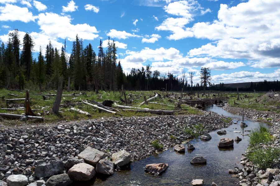
After seven years of remediation work in Hazeltine Creek in response to the 2014 tailings dam breach, the salmon have returned to the creek to spawn. In stream work was completed in late August this year, just in time for the sockeye migratio… Read more »
![Abundant Rainbow Trout observed upstream of fish fences, looking to transit into Hazeltine Creek from Polley Lake to spawn. [May 2017]](https://www.mountpolley.com/wp-content/uploads/2020/08/rainbow-trout-polley-lake-900x600.jpg)
Fish populations thriving at Mount Polley
August 11, 2021
Habitat modelling reveals four times more juvenile fish are expected in Hazeltine Creek post-remediation efforts
Mount Polley Mining Corporation is pleased to report that fish populations are thriving at Mount Polley. Further… Read more »
A letter from the Mount Polley Team
March 3, 2021
Happy Holidays – we hope that everyone enjoyed a joyous holiday season and wish you all the best for 2021.
A Covid-19 update – Mount Polley employees continue to take additional precautions to minimize the risks of COVID19 tra… Read more »
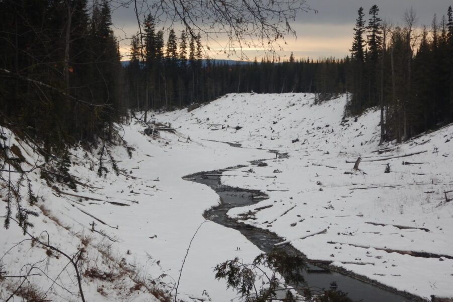
Mount Polley Environmental Monitoring
October 22, 2020
Environmental monitoring programs and closure research projects at Mount
Polley mine site continue as planned. Remediation
construction at the lower Hazeltine Creek and Edney Creek began this summer.
Mount Polley staff, with assista… Read more »
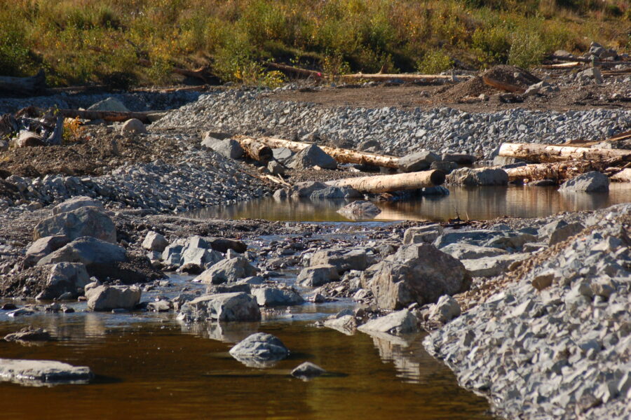
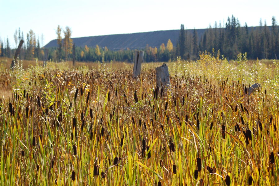
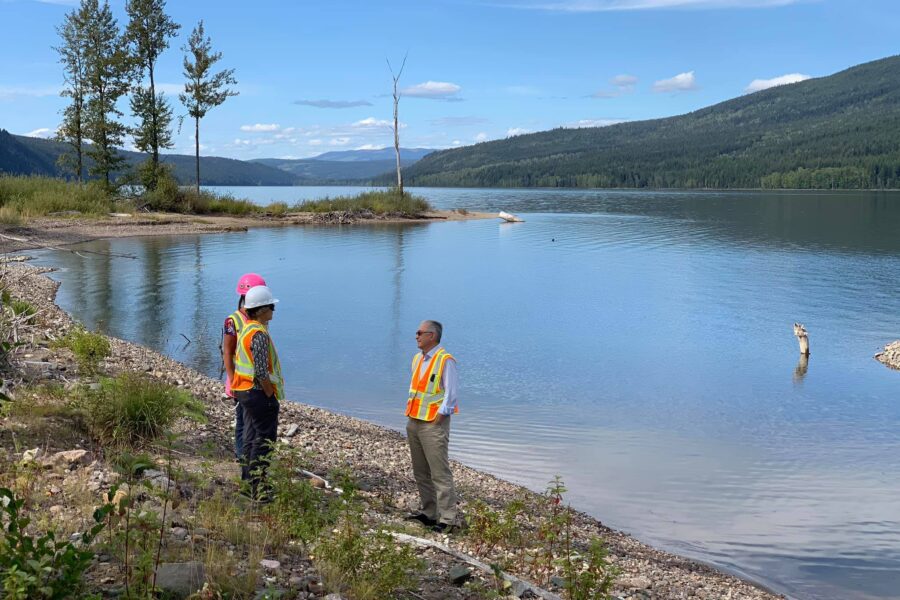
September site tour with the Habitat Remediation Working Group
October 14, 2020
The remediation of Hazeltine Creek has been planned and advanced through the direct collaboration of Mount Polley mine employees, government agencies, First Nations and their technical advisors. This collective is called the Habitat… Read more »
Experts recommend leaving tailings in Quesnel Lake
September 17, 2020
Lately we have received questions about the water quality at Quesnel Lake, so here are a few Q&A’s which address this subject.
First, what it means to conduct remediation?
According to the BC Environmental Management Act, “remediati… Read more »
Rainbow trout return to Hazeltine Creek
August 21, 2020
In 2018 a milestone was celebrated by the Mount Polley Environmental Team (MPET) when the efforts of the remediation work rebuilding Hazeltine Creek witnessed the return of Rainbow Trout, Redside Shiners and Long Nose Suckers to the rebu… Read more »