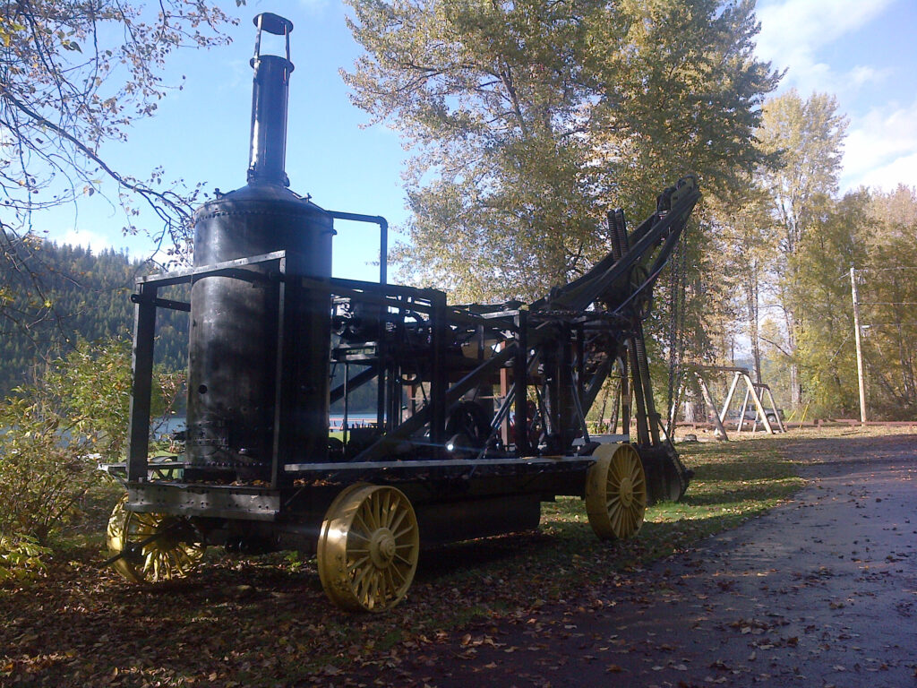
The area around Likely has a long and fascinating history of placer mining. Placer mining refers to mining materials (mostly gold) deposited in ancient stream beds that are still largely unconsolidated (i.e. relatively loose materials).
Some of the earliest gold discoveries in the area were made in 1859, one in the Horsefly River, and one in the Dancing Bill Gulch. The latter became known as the China Pit and then the Bullion Pit, and is located just downstream of Likely on the west side of the Quesnel River. The Bullion Pit is now a local historic site with a public walking trail.
Placer gold was also discovered near the mouth of Keithley Creek on the Cariboo River about 12 km upstream from Quesnel Forks in July 1860. Other significant discoveries were subsequently made just 4 km south of Likely on Cedar Creek, and in Quesnel River itself.
In 1897, the Golden River Canal Co. decided to build a dam across the Quesnel River at the outlet from Quesnel Lake in order to block the river and be able to work the gravels from the bottom of the river. The tent town that developed on the site was known as ‘Quesnel Dam’. In 1920, the dam was dynamited and the remnants of the dam can be seen just north of the Likely Bridge in Likely. After the removal of the dam, the residents decided to rename the town ‘Likely’ after a local prospector, John Likely.
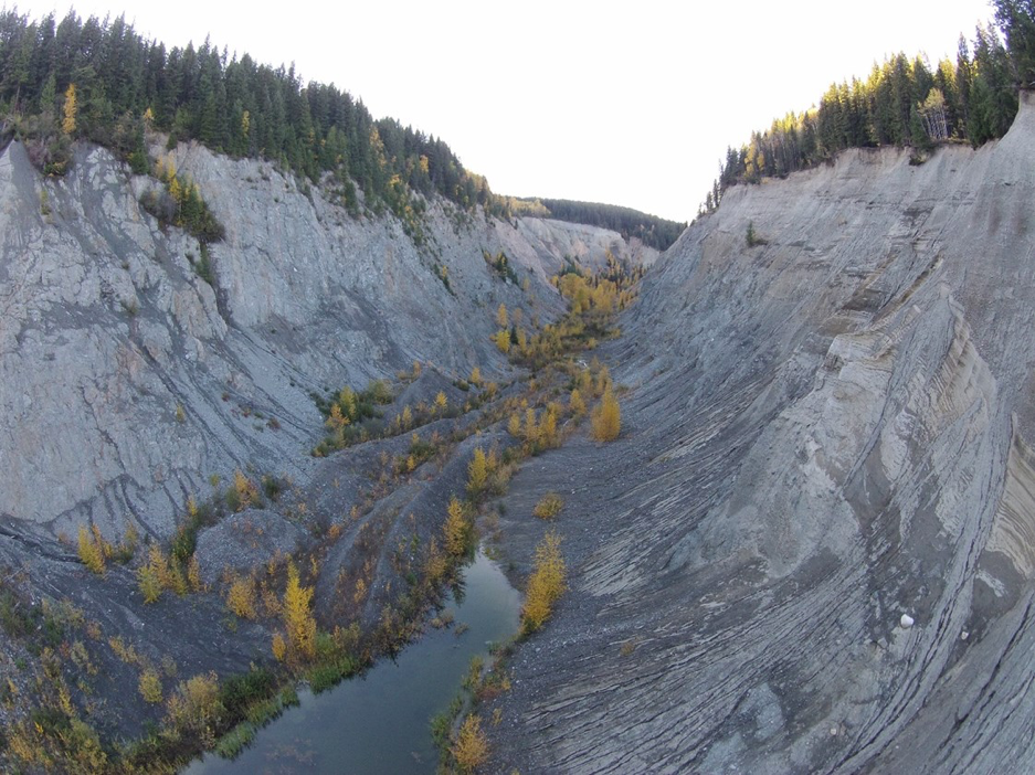
The Bullion Pit ulimately became a very significant gold producer in the area. BC Minfile report number 093A 025 states that “In 1897, the Consolidated Hydraulic Mining Company commenced full scale operations and between 1898 and 1902, the company processed 5,912,700 cubic metres of mixed materials, recovering 1,402,316 grams of gold at a recoverable grade of 0.132 grams per tonne gold… Estimations indicate that a total of 200 million tonnes of material were removed by hydraulic methods and 5.463 million grams (175,644 ounces) of gold were produced.” Indications are that much of this material was discharged directly into the Quesnel River.
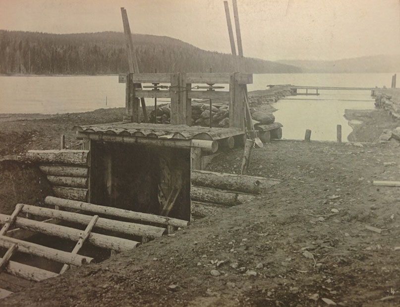
The shortage of water in the early 1900s led the operators of the Bullion Pit to construct a number of water control and diversion works on local streams and lakes to gather water for the hydraulic operations at the pit. Photos from the BC archives, including ones featured in the TV program “Gold Trails and Ghost Towns – The Bullion Pit episode”, document weirs and diversion ditches built on Polley Lake and Hazeltine Creek and other creeks in the area.
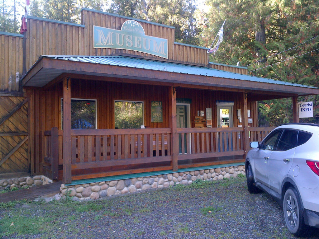
To learn more about Likely’s mining history, visit the Cedar City Museum and Info Center located in the Cedar Point Provincial Park in Likely, BC.
This Facebook page gives regular updates on the areas in BC that were part of the mine’s early gold mining history.
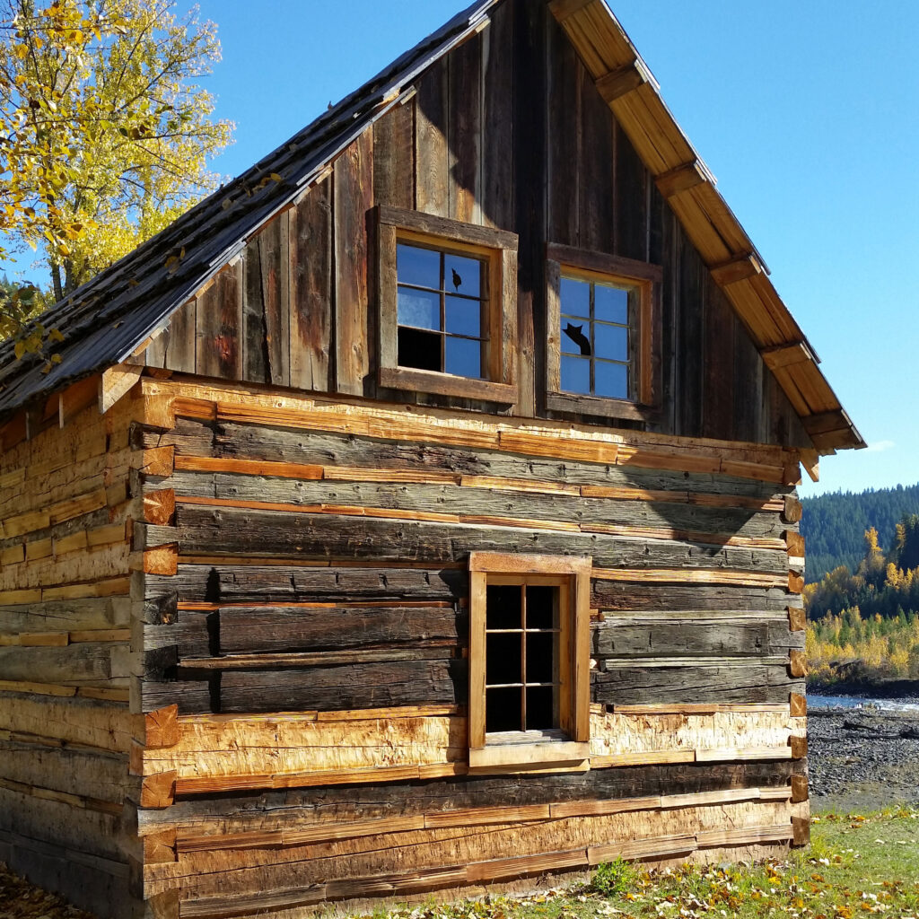
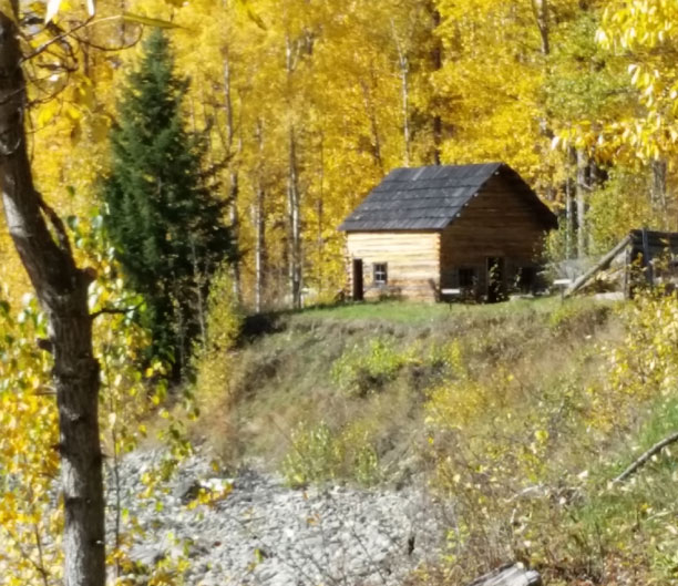
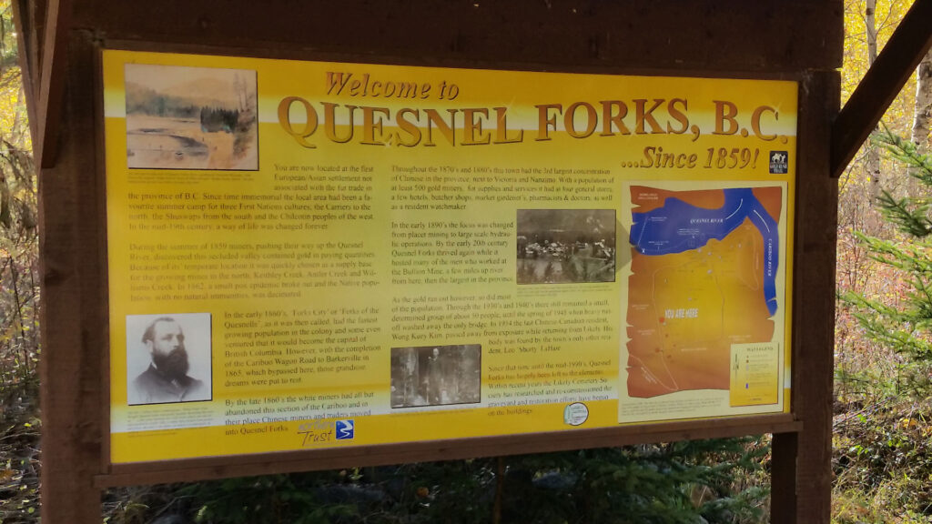
Many placer mines continue to operate in the area around Likely, including near Quesnel Forks. Quesnel Forks is a restored ghost town located 12 km outside of Likely with a rich mining history and is also worth a visit. It is situated at the point where Cariboo River meets the Quesnel River, and features a beautiful campground and a number of restored and partially restored old buildings.